-
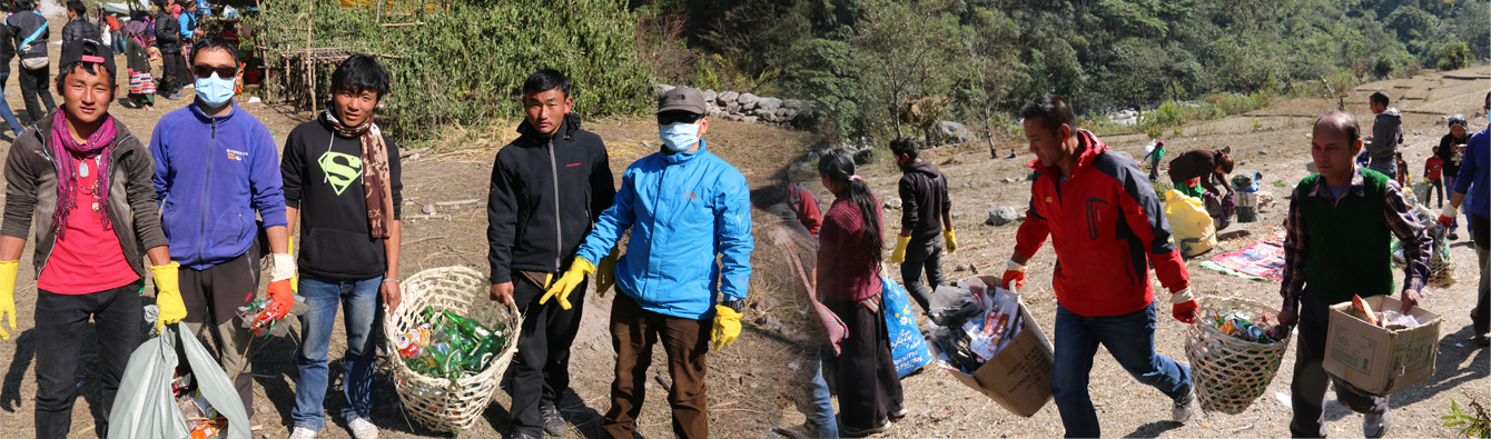
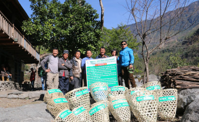
Village Cleaning Program
-
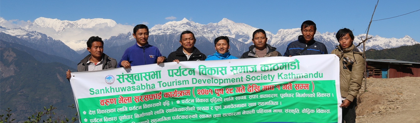
Nepal Tourism Development Society
-
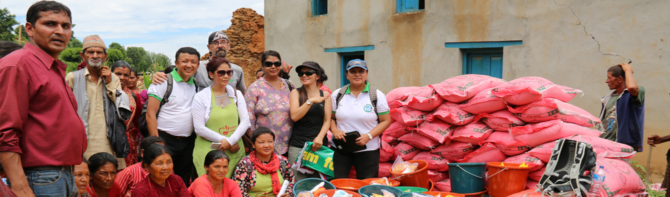
Relief Distribution for Earthquake Victims
-
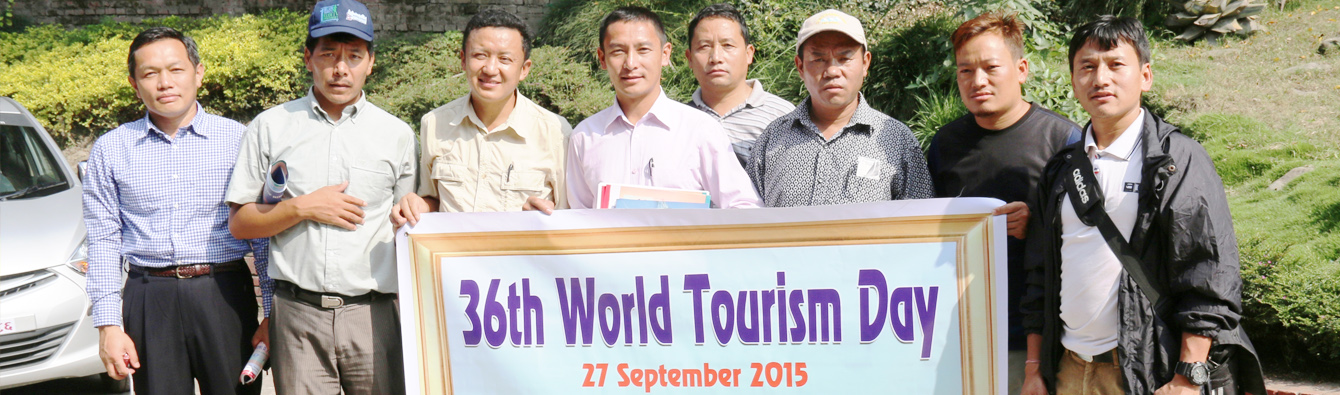
world tourism day
Village Cleaning Program
Nepal Tourism Development Society
Relief Distribution for Earthquake Victims
world tourism day
Whereas it is expedient to establish an organization with the objectives of supporting the nation for its overall development by promoting the tourism business so as to make the various Sankhuwasabha District based religious, social, historical, archaeological significance of rivers, ponds, mountains, lakes, known to the world In making coordination with tourism related companies having been established in Sankhuwasabha District to promote the tourism industries in develop......
[+] Read MoreVision: The vision of the STDS is to promote, facilitate and develop tourism in a sustainable manner by adopting the labour based, local resources oriented and environmental friendly technique in accordance with the rights based participatory approach by networking with tourism related communities, organizations & institutions, government line agencies, local authorities, social organizations (NGOs), community based organizations, stakeholders and othe ......
[+] Read MoreSankhuwasabha district is located in the high and mid-mountainous belt of Koshi zone at the Eastern Nepal. The district is bordered with Taplejung and Terahthum district in the east, Solukhumbu and Bhojpur districts in the west, Dhankuta district in the south and Tibet the autonomous region of China in the north. The total area of the district is 3468.38 square kilometre. The district extends within latitude of 27º 06’ to 27º 55’ latitudes and longitude of 87º 57’ to 87º 40’ E. Climatically, the district has tremendous variation in accordance with the topographical setting and altitude, as this district holds the cool Alpine. The climate in the north to sub-tropical climate in the south. Topographically, the district has also tremendous variation, as the district deserves 5th highest mountain peak in the world Mount Makalu (8463m) in the north part and lowest part of Kewabesi (250m) at the south. The enters from Tibet at an elevation of about 3,500 meters (11,500 feet) and flows south across the district, forming one of the world's deepest valleys relative to 8,481 m...
Read More...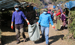
Program Title - Cleaning and Sanitation Program in Barun Mela - 26 Poush – 01 Magh 2071 BS Prog
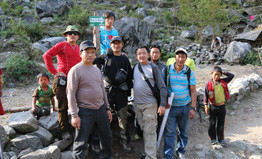
Trekking route marking and awareness raising program in Tumlingtar to Barun area – 26 Poush – 01
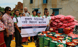
Sankhuwasabha Tourism went to Relief distribution at Sirubari village -2, Sindhupalchok district wh
Sankhuwasabha Tourism Development Society congregation to Mr. Dinesh Kumar Thapa
Official Website Lunch