-
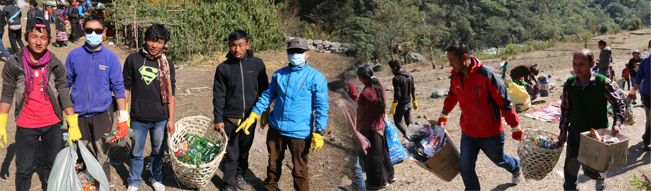
Village Cleaning Program
-
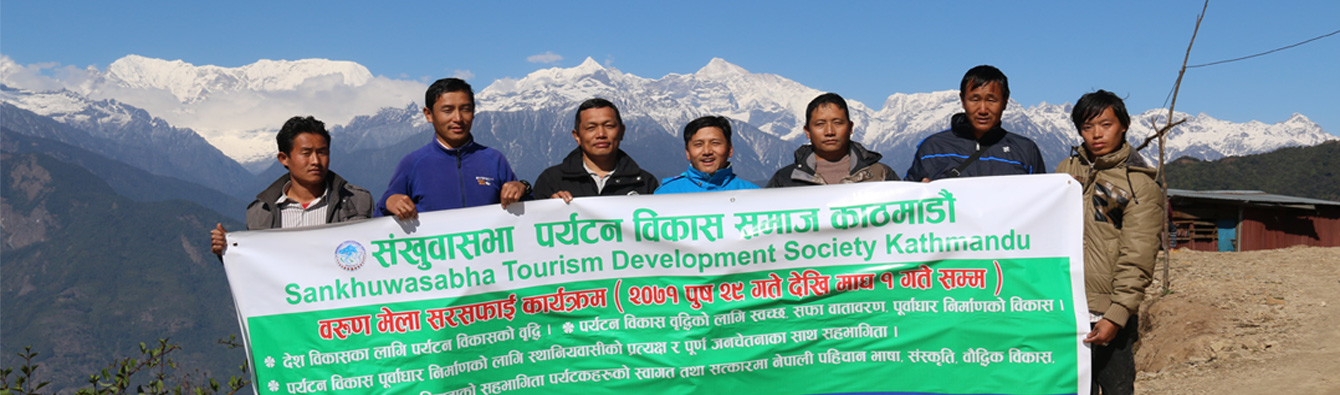
Nepal Tourism Development Society
-
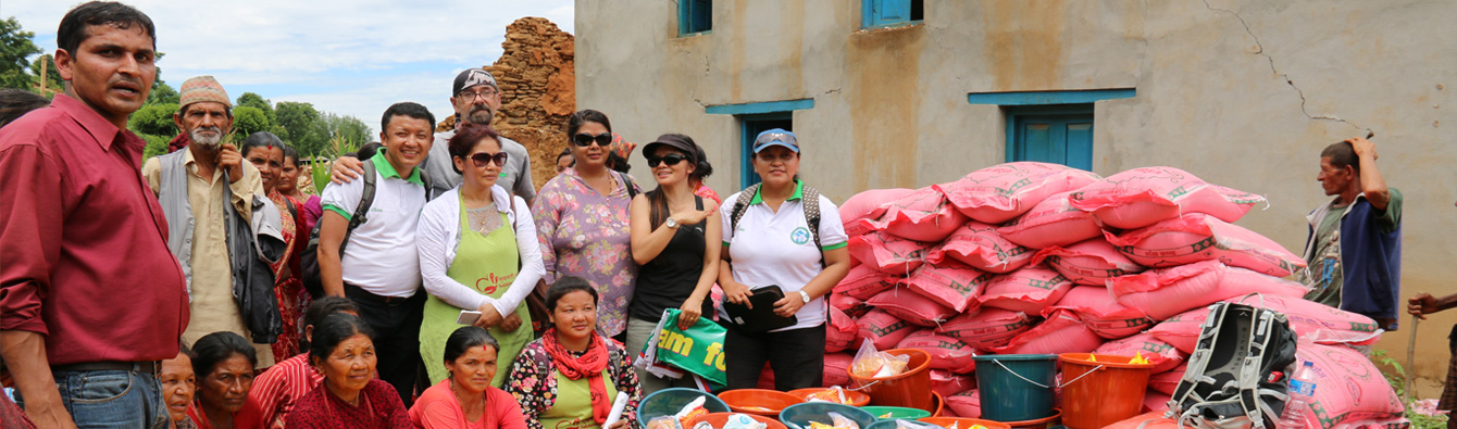
Relief Distribution for Earthquake Victims
-
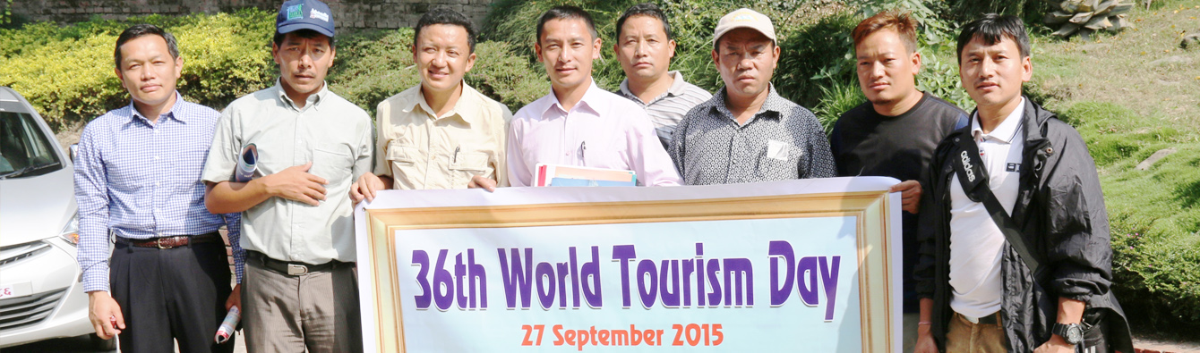
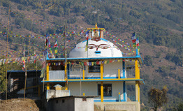
world tourism day
Village Cleaning Program
Nepal Tourism Development Society
Relief Distribution for Earthquake Victims
world tourism day
Sankhuwasabha district is located in the high and mid-mountainous belt of Koshi zone at the Eastern Nepal. The district is bordered with Taplejung and Terahthum district in the east, Solukhumbu and Bhojpur districts in the west, Dhankuta district in the south and Tibet the autonomous region of China in the north. The total area of the district is 3468.38 square kilometre. The district extends within latitude of 27º 06’ to 27º 55’ latitudes and longitude of 87º 57’ to 87º 40’ E. Climatically, the district has tremendous variation in accordance with the topographical setting and altitude, as this district holds the cool Alpine.
The climate in the north to sub-tropical climate in the south. Topographically, the district has also tremendous variation, as the district deserves 5th highest mountain peak in the world Mount Makalu (8463m) in the north part and lowest part of Kewabesi (250m) at the south. The enters from Tibet at an elevation of about 3,500 meters (11,500 feet) and flows south across the district, forming one of the world’s deepest valleys relative to 8,481 meter to the west and 8,586 meter to the east.
The district is endowed with historical base, tourism potential, mountainous topography and natural resources. Rare species like kande bhyakur (Scientific name: Turdoides nipalensis is found only in Arun Valley in Makalu region). Also found red panda in this area.
Khandbari bazaar is district head quarter located at mid-hill of the district. The district is divided into one municipality and 33 VDCs, 11 Illakas and two electoral constituencies for the administrative purpose.
Sankhuwasabha Tourism Development Society congregation to Mr. Dinesh Kumar Thapa
Official Website Lunch